For 75 years, the CIA Cartography Center has been making vital contributions to our Nation’s security, providing policymakers with crucial insights that simply cannot be conveyed through words alone.
The Center’s roots stretch back even before the Office of Strategic Services (OSS)—all the way to the OSS’ predecessor, William Donovan’s Office of the Coordinator of Information (COI).
It all started with one geographer, Arthur Robinson, who in 1941 began creatively drafting maps to convey intelligence stories for policymakers.
Demand for Robinson’s pioneering work was strong and immediate, leading to the creation of a unit to provide customized mapping services to support US national security interests.
Customized mapping was a new concept at the time. Within a year, however, a large group of geographers gathered together and refined this nascent art and science—figuring out how best to portray information concisely for policymakers and the military.
The First Female Intelligence Cartographer
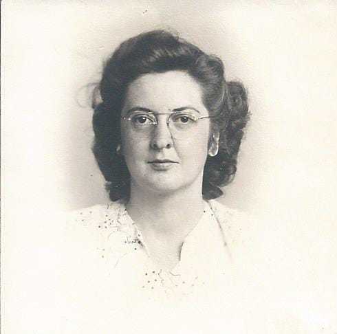
One of the first cartographers in that group was Marion Frieswyk [FREEZE-wick], who embodies the diligence, determination, and innovative spirit that we value at CIA.

In 1942, Marion was a 21-year-old graduate student at Clark University in Worcester, Massachusetts when Arthur Robinson recruited her for the OSS. This would prove to be a crucial development in Marion’s life—and not only because Robinson also had the good sense to recruit Marion’s future husband, Henry Frieswyk.
Looking back over her career, Marion was a true pioneer. Although other women worked in the Map Division, our records indicate Marion was the first woman in the Map Division’s Cartography Section. It was a place where she thrived.
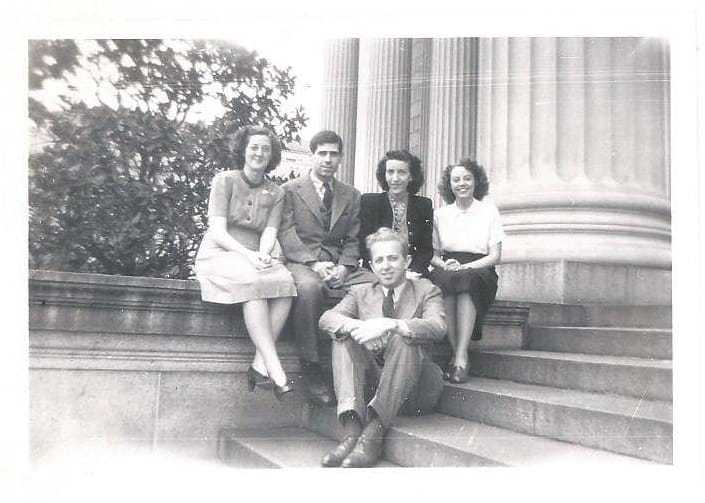
As an OSS cartographer, she and her colleagues developed a unique system of map production and evolved it rapidly to improve map quality and production efficiency.
During World War II, Marion produced customized maps and 3D topographic models. It was painstaking work, supporting both strategic studies and military operational plans for the US and its allies.
Marion later displayed a true commitment to her craft during some turbulent times. After OSS dissolved in 1945, she remained as part of the core group of cartographers who stayed with the unit. Ultimately, she would work in CIA’s Cartography Division until 1958.
Marion recognized early on that geography is deeply relevant to intelligence work, enhancing the Agency’s ability to visualize and tell stories that resonate with those we serve. Her passion and spirit represent timeless qualities that define the Cartography Center to this day.


